Flemish Hydrography team has mapped most shipwrecks off coast using sonar

The Flemish Hydrography team of the Maritime Services and Coast Agency have mapped the most significant amount of shipwrecks in territorial waters. West Flanders provincial governor Carl Decaluwé provided this information to provincial councillor Kurt Himpe (N-VA).
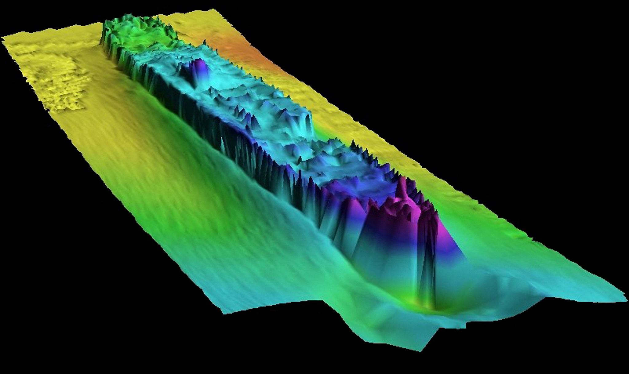
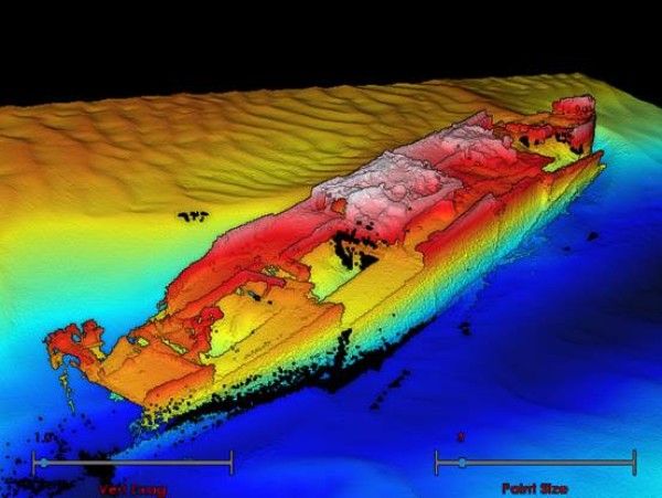
Sonar technology was used to create marine maps and take inventory of the shipwrecks. With sonar technology, large obstacles and objects on the seabed are detected and converted into 3D images. However, more research into what lies beneath the seabed is required as sonar is unable to penetrate to that depth.
"The wreck database currently contains more than 300 objects, including 55 shipwrecks recognised as heritage," said Himpe.
In territorial waters, two-thirds of the shipwrecks have a link to the two world wars. However, some 60 wrecks in the wreck database are still "unknown". Two more German submarines were identified in 2023.

Himpe hopes that in the future, possibly in cooperation with foreign organisations, work will also be done to track down hidden objects in the seabed.
Shipwrecks are often fruitful areas for fishermen and "provide a unique underwater experience" for divers, the Flemish Hydrography team says. Underwater archaeologists research the wrecks to gain a better idea of life and customs at the time on board these shipwrecks from the distant past.
While wrecks provide an interesting watery habitat, they can also hinder shipping. By using specialised acoustic equipment, such as a side scan sonar or a multibeam, even the smallest part of the wrecks can be mapped. The bigger the difference in absorption of the acoustic signals between the object and its surroundings, the better the obtained image.
#FlandersNewsService |©AFP PHOTO
Related news
